Topic:Google Earth
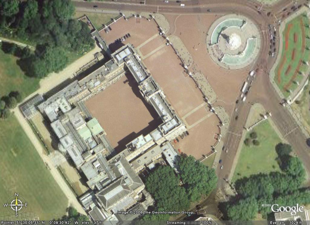
If anyone hasn't seen 'google earth' yet, you might want to check it out. It's a map of the world made up of satellite photos and you can zoom into anywhere you want in quite high detail, particularly around cities.
The free version is 11Meg and the detail is better than you might expect. This pic is of Buckingham palace but I had to zoom out to fit it all in.
http://earth.google.com/
I haven't fully understood the difference between Google earth and maps.google.com
I tried installing google earth sometime quite a few months ago, but it didn't work for me. It crashed.
I tried installing google earth sometime quite a few months ago, but it didn't work for me. It crashed.
wicked pics but the only thing is that it makes me miss home when i look at my old house.. :)
I was trying to figure out who's car was parked outside the gym when they took the photo's!!!
gr8 photo's with fantastic resolution
gr8 photo's with fantastic resolution
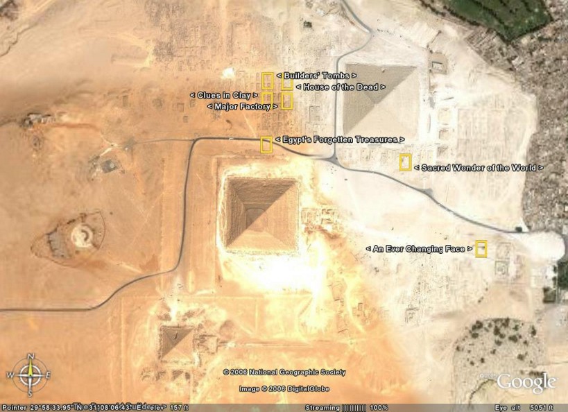
The great pyramids.
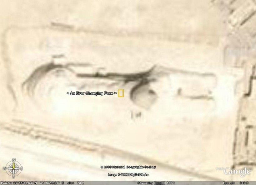
The Sphinx
BEEN THERE!
I used to work for Google and still don't quite get it...I do know from people I have spoken that the military especially are a bit peeved with Google for making it so accessible....
The other sad thing is that my mum knows more about where I live than I do and she lives on the other side of the world!!!
:-)
What did you used to do for Google?
Facilities......fantastic place to work I must say.
:-)
if thats what you can access on google...just imagine what the military have!!!!
Noi if you have ever seen 24 and all the gadgets CTU it makes google pretty crappy. But good enough for the average Joe i reckon
The pics are quite old though arent they? Its not an up to the minute thing.
Well G.Earth pics can't be too bad if the military and law enforcement around the world are so upset about it!!
:-)
Late 2004 I was told. It seems about right but in the time it'd take to do the whole world, I daresay some parts are older than others.
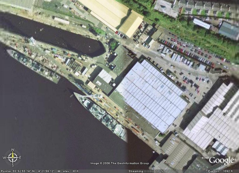
I wondered about the military thing too. I was looking at the River Clyde in Glasgow, which has a few shipyards, and I noticed this cruiser or whatever (I'm no expert)with a bit missing from the back.
It could be pieced together from pics taken at different times but hmmm...
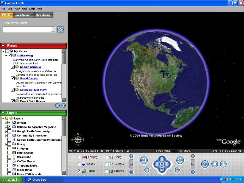
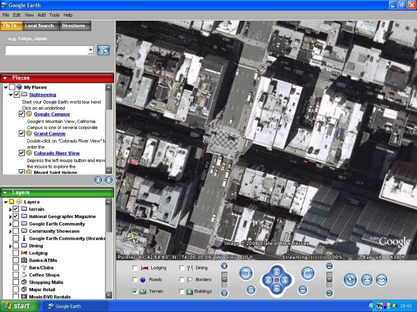
I did a couple of screen shots to show the interface of google earth, resampled to 80% to fit okay here.
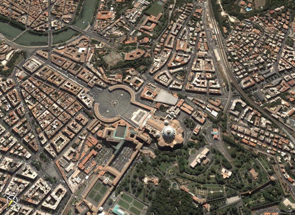
Sorry, its Rome!
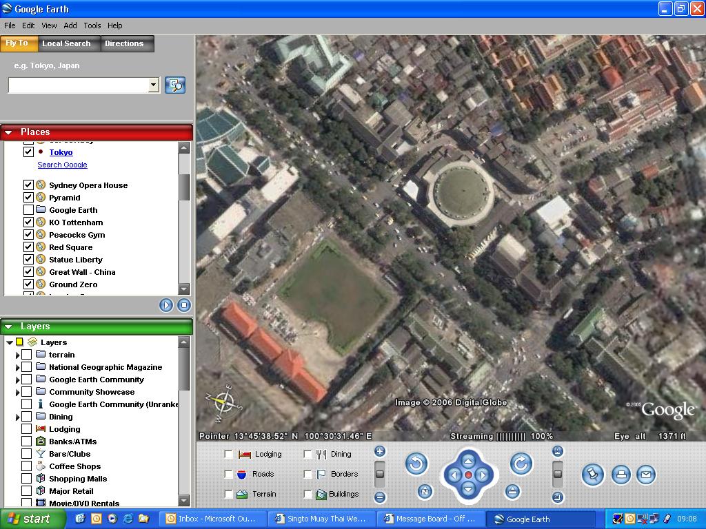
Here is one for ya!

Here is another for ya!

Here is another for ya!
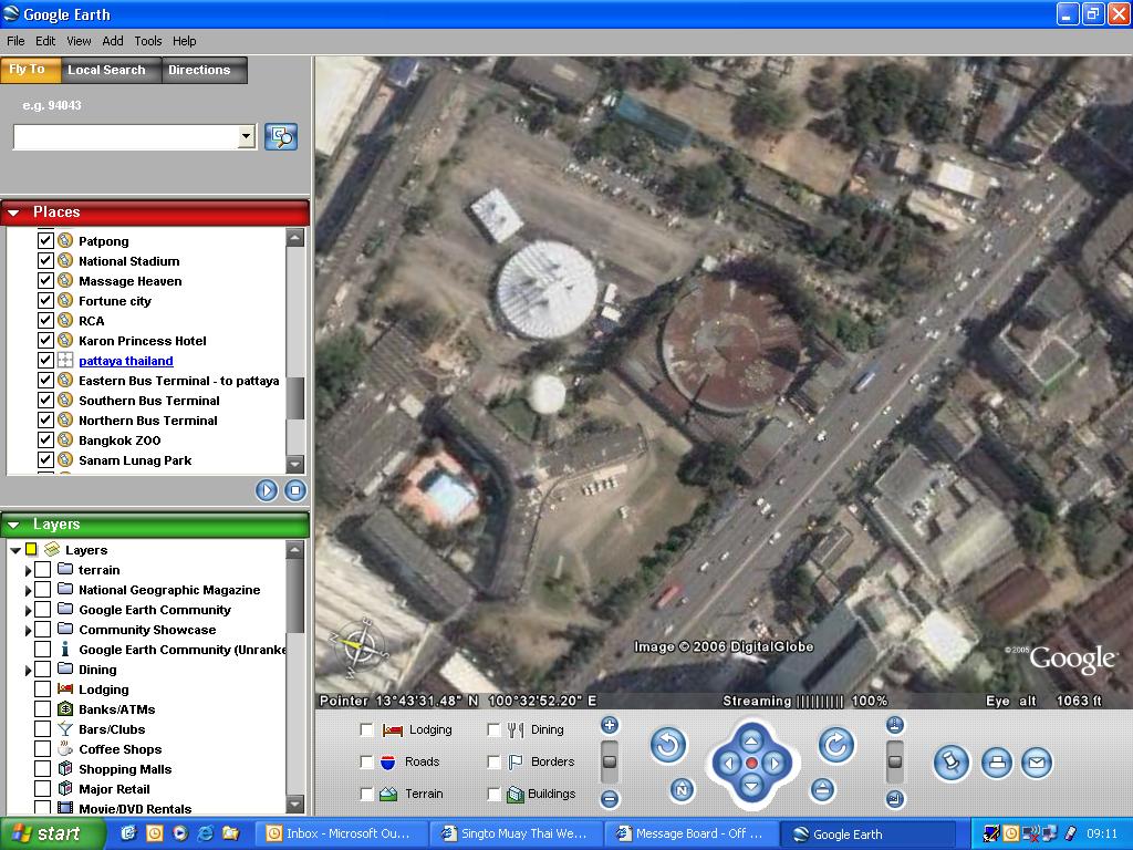
Here is another for ya!
the 1st 3 is Ratchadamnern stadium and the last one Lumpini :), must have been taken at 7 am on a sunday for rama 4 road to be that quiet!
I like the tilt function at the bottom!
Excellent.... hey can you find Kaewsamrit?

Hmmm, has this worked?
Nope!
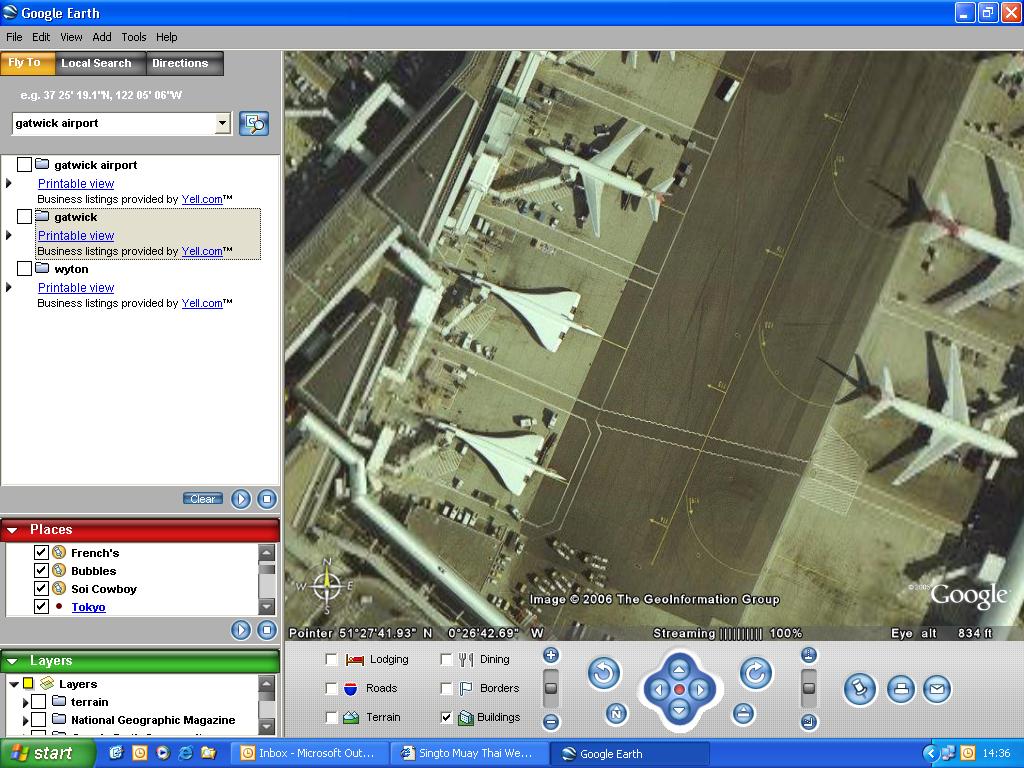
Concorde..... broom broom...
I thought Concord was obsolete? :-s
Btw, you don't need to take a screenshot. You just hit 'ctrl + s' to save only the picture :-)
Btw, you don't need to take a screenshot. You just hit 'ctrl + s' to save only the picture :-)
Singto,
I love the other names you have searched on ...............
French's
Bubble's
Soi Cowboy....
hmmm
LOL
FB'Slim
I love the other names you have searched on ...............
French's
Bubble's
Soi Cowboy....
hmmm
LOL
FB'Slim
and many many more ;p
So thats how you do it, cheers Brian!
P.S. I think the pics were taken at least 3.5 yrs ago as there is a car in my drive I got rid of about then, good old little XR2 it was, shame it had gone mouldy and didnt actually work! Thats also why Concorde is showing at gatwick.
P.S. I think the pics were taken at least 3.5 yrs ago as there is a car in my drive I got rid of about then, good old little XR2 it was, shame it had gone mouldy and didnt actually work! Thats also why Concorde is showing at gatwick.
Top tip #2;
F11 gives you fullscreen.
:-)
F11 gives you fullscreen.
:-)
I will utilise that tip to its full potential, many thanks.
I found wembley on it coplete with the twin towers! How many years ago was that knocked down?
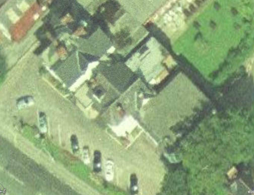
how sad is this, im bored sitting in the "acton court hotel" waiting to go to master skens show
check out NASA's alternative... World Wind
http://worldwind.arc.nasa.gov/
"World Wind lets you zoom from satellite altitude into any place on Earth. Leveraging Landsat satellite imagery and Shuttle Radar Topography Mission data, World Wind lets you experience Earth terrain in visually rich 3D, just as if you were really there."
http://worldwind.arc.nasa.gov/
"World Wind lets you zoom from satellite altitude into any place on Earth. Leveraging Landsat satellite imagery and Shuttle Radar Topography Mission data, World Wind lets you experience Earth terrain in visually rich 3D, just as if you were really there."
Sponsor
I installed that one but can't get any sort of detail and it's slow at that.
Maybe it's just me though coz I didn't bother to read all the speil. :-s
Maybe it's just me though coz I didn't bother to read all the speil. :-s
Sponsor:
Javascript is disabled in your browser. Please turn on Javascript to post messages.
© Copyright - Brian Ritchie | Privacy Policy


